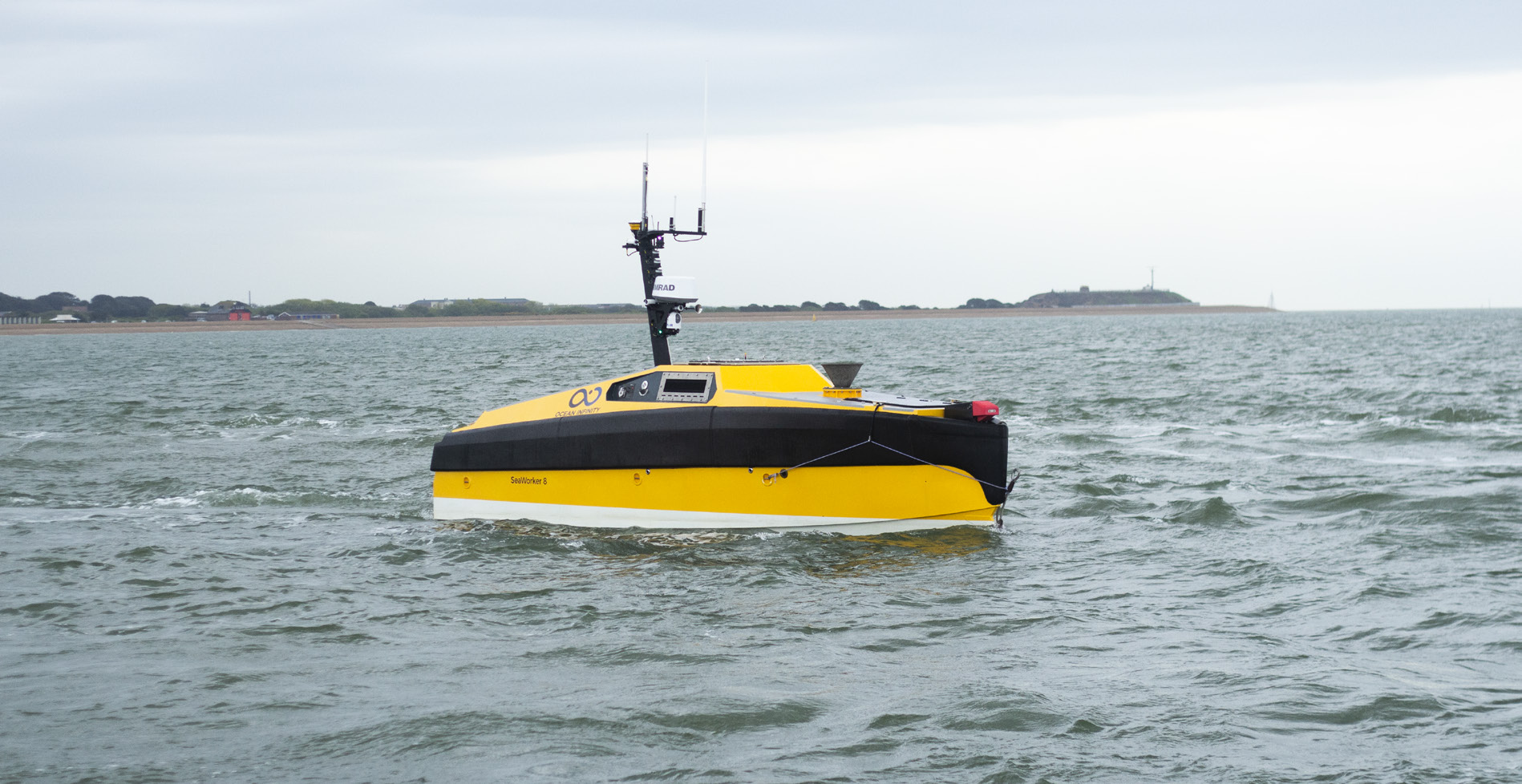
Michigan Technological University (MTU) has partnered with Ocean Infinity to launch the Armada 8, a 26-foot uncrewed vessel designed to map the Great Lakes. This project aims to collect valuable data on the region’s waterways.
Background
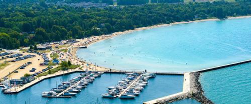
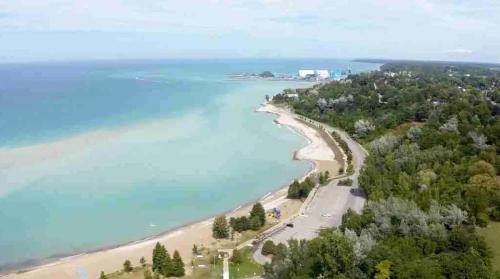
The Great Lakes are a vital source of freshwater, supporting commerce, recreation, and ecosystems. However, much of the lakes’ depths and ecosystems remain unmapped.
The Armada 8
The Armada 8 is an uncrewed surface vessel developed by Ocean Infinity. It’s equipped with sensors, navigation systems, and communication technology, operating autonomously to collect data on water depth, temperature, and other environmental factors.
MTU’s Role
MTU’s research team, led by Dr. Guy Meadows, provides expertise in Great Lakes research, data analysis, and project management.
Objectives
The Armada 8 project seeks to create detailed bathymetric maps of the Great Lakes, collect water quality and temperature data, monitor aquatic ecosystems and habitats, inform infrastructure planning and development, and enhance navigation safety.
Technological Advancements
The Armada 8 employs various technologies, including multibeam sonar for bathymetry, side-scan sonar for seafloor imaging, water quality sensors, advanced navigation systems, and real-time communication.
Data Collection and Analysis
The Armada 8 collects data continuously, transmitting it to MTU researchers for analysis.
Challenges and Opportunities
The Armada 8 project faces several challenges that require careful consideration. Weather conditions, such as rough seas and ice cover, can impact the vessel’s ability to collect data. Additionally, limited communication range and connectivity can create challenges for real-time data transmission. The research team must also balance the need for comprehensive data collection with the need to ensure the vessel’s safety.
Despite these challenges, the Armada 8 project presents numerous opportunities for growth and advancement. By providing accurate and detailed maps of the Great Lakes, the project can significantly improve navigation safety and reduce the risk of accidents. Furthermore, the data collected can inform environmental monitoring and conservation efforts, helping to protect the region’s delicate ecosystems.
Conclusion
The MTU-Ocean Infinity partnership represents a significant step forward in Great Lakes research. The Armada 8 will provide valuable insights, informing decision-making.
Key Statistics
- Vessel length: 26 feet
- Beam: 8 feet
- Draft: 2 feet
- Speed: Up to 10 knots
- Endurance: Up to 14 days
Sources
- Michigan Technological University
- Ocean Infinity
- Great Lakes Research Center
- NOAA
- EPA


Use the share button below if you liked it.